Temps are on the way up the next several days, but there are indicators pointing to cooler, wetter weather as we prepare to close out October.
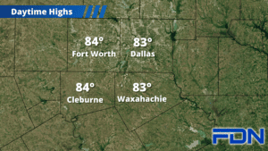
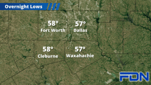
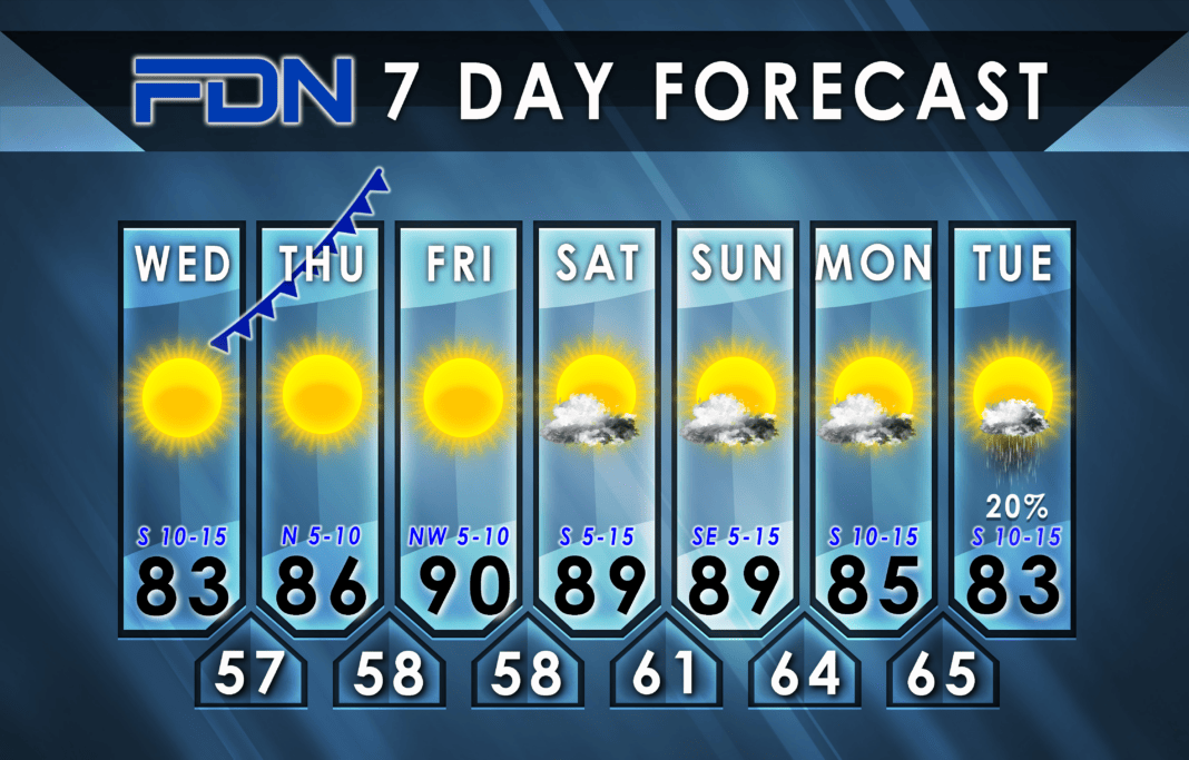
Today’s highs return the 80’s with highs in the low-mid 80’s, but dew points are still fairly so it will still be comfortable out there. It will be windy, though, so be ready for that. We have a cold front coming in overnight tonight, but it’s pretty weak so it won’t do us any favors. We’ll reach the mid 80’s tomorrow with north winds, then we should crack 90° at least once or twice this weekend for a few days of Hottober. The weekend will be breezy, and then the winds will be gusty again Monday and Tuesday.
There are two things worth watching, though, that will make forecasting pretty fun over the next several days.
First is Tropical Storm Norma off the west coast of Mexico (ironically enough, it looks like we’ll get more benefit from Pacific storms this year than Atlantic ones). The ridge of high pressure to our south that will help warm us up will also likely push that storm into Texas by midweek next week. That could bring us increased rain chances and cooler temps for a couple of days.
Second is a strong cold front that multiple models already agree should move into North Texas sometime late next week (looks like late Friday at this time). If this forecast holds, it should not only bring at least a decent cool-down, but could bring widespread showers/storms. No indication this early of severe weather potential or anything that specific, but I will continue to monitor this forecast to see if that becomes a factor.
For now, take advantage of the warmer temps this week and stay tuned for what could become a much more interesting forecast!


