A storm system could bring a few strong/severe storms to North-Central-Texas today, but the forecast stays calm and mild after that.
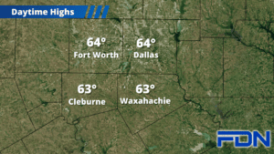
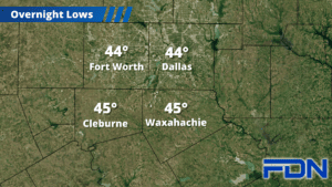
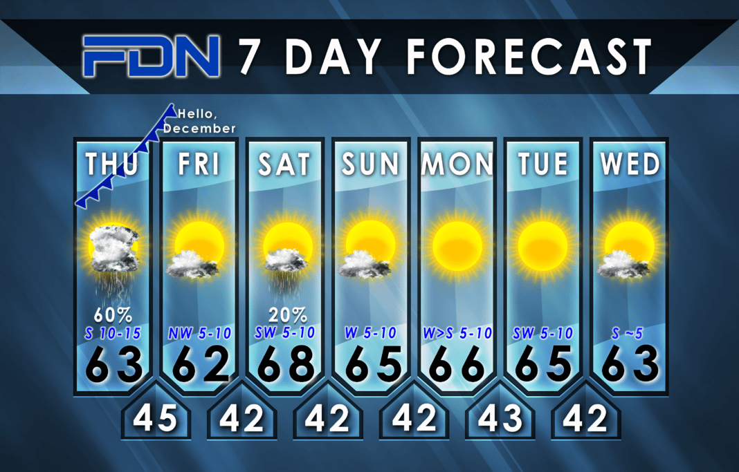
Today starts out with a few spotty showers, and then we could see more rumbles of thunder after the sun comes up. As we get into the afternoon and temps climb into the low 60’s we could see a strong/severe storm or two, with large hail and damaging winds being possible with any storms that do become more intense. The tornado threat isn’t completely zero for our area…but should stay pretty well confined to areas south of us (College Station/Houston). Showers and storms should move out this evening/tonight as the front pushes through and dry air moves in. Lows tonight should settle around the mid 40’s.
Tomorrow will be mild with highs again in the low 60’s and light northwest winds, and lows drop in the low 40’s. Saturday we warm up to nearly 70°, and will have a few showers here and there – but nothing widespread or heavy. Lows again drop into the low 40’s overnight.
The forecast next week stays mild with highs in the mid 60’s and lows in the low 40’s. Winds will be variable from the west/south, and we should be mostly sunny. We spent much of November below normal, but now we’ll be on the warmer side of normal to start December. Enjoy it!


