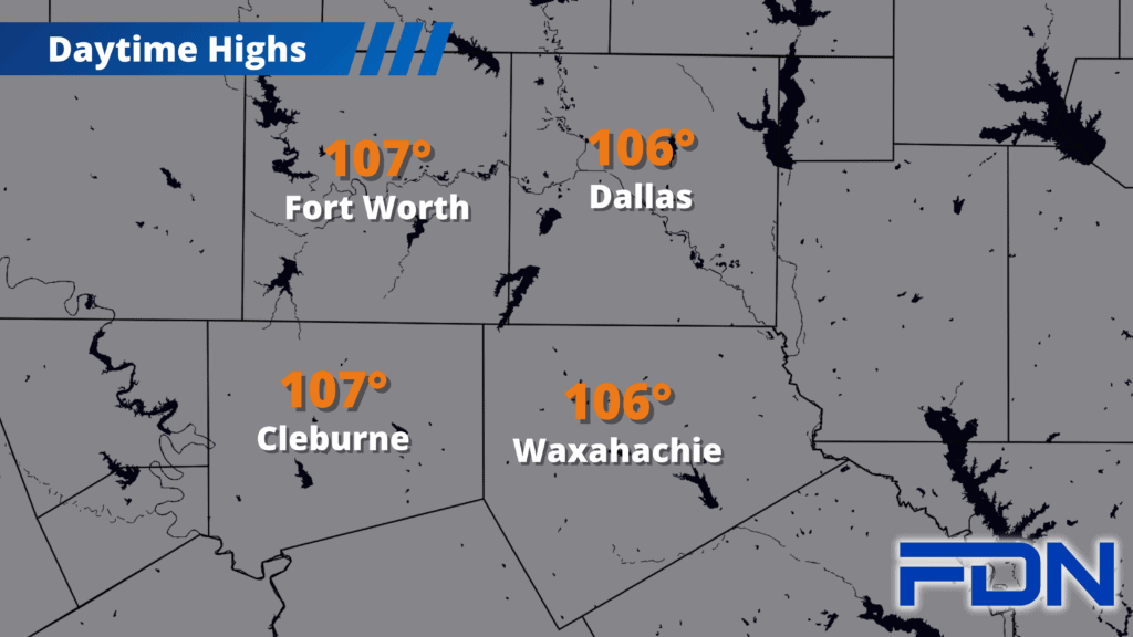
This weekend will continue the hot and dry routine we’ve been stuck in for a while…and the pattern change Monday/Tuesday will mean fairly minimal change.
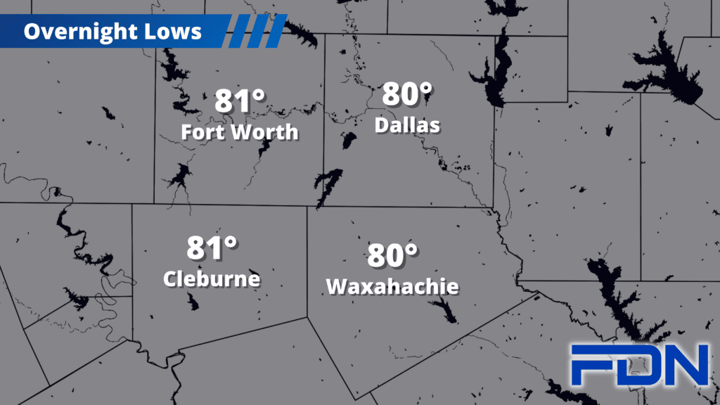
I have highs again in the 106°-107° range, but today brings a more humidity – so heat index values will be in the 110°-112° range. Humidity doesn’t help our comfort level, but it at least makes things a little less volatile in terms of wildfires. Notice I said a little – not enough to not continue taking precautions and following burn prohibitions. It’s still a tinderbox out there. I’m trying to find whatever positivity I can in this weather!
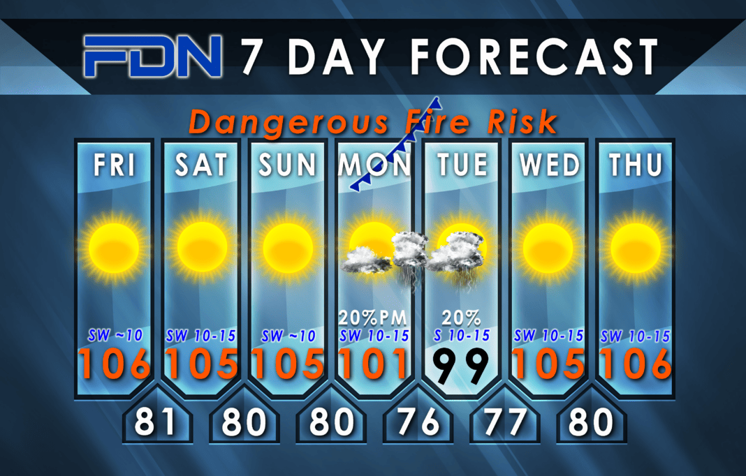
Saturday & Sunday might be a degree or two lower as the high pressure ridge slowly degrades some. Southwest winds continue, and there won’t be rain, so elevated to critical fire danger continue.
Monday the “cool” front arrives in North Texas, and will probably stall somewhere around I-20 or I-30, keeping us on the warm side. I do think we will still have somewhat of a cool-down as the high pressure ridge shifts west, so I have us at around 101°-102° Monday and 99°-100° Tuesday. A few isolated showers/thunderstorms are possible Monday night/Tuesday, with the best chances closer to the front. I have a 20% chance of rain overall.
Wednesday and Thursday we’re right back to the mid 100’s. I’m watching for more pattern changes on the way, and remember: mid-July through Mid-August is our peak heating time. We’re still there for about a week and a half. Now I can’t guarantee the heat wave breaks on August 16th, but that’s when the “normal” or “average” temperature starts gradually dropping, and it actually declines quicker when we get to the last week of August. Hang in there!


