This morning’s forecast is the first one in quite a while to include no triple digit highs, and it actually brings us BELOW average highs – with several chances of rain!
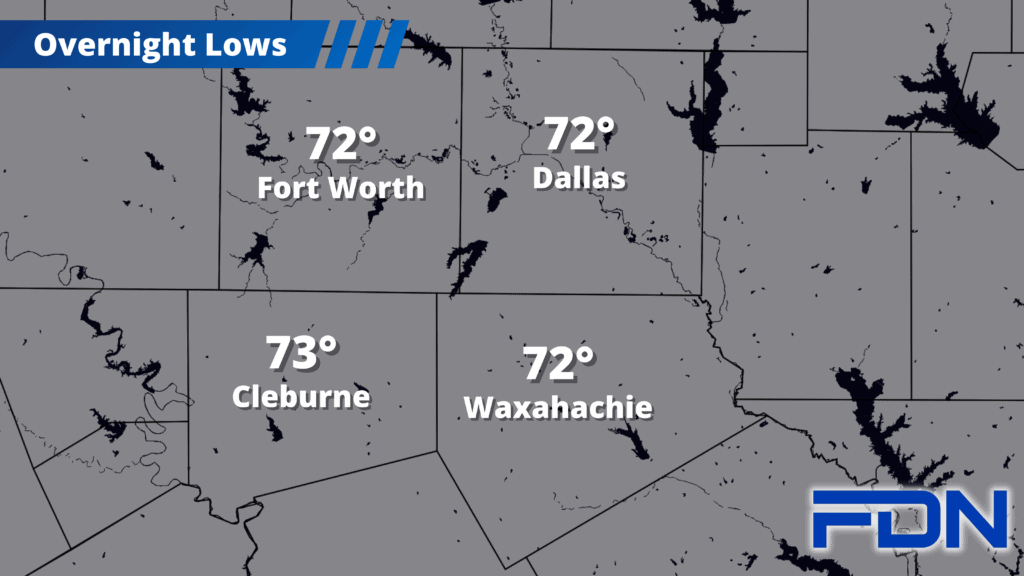
Today should be dry with highs in the mid-upper 90’s. Lower humidity should help limit heat index values as well. Overnight tonight and tomorrow morning will feel pretty great as lows drop into the low 70’s.
Tomorrow morning we get our first chance of rain, though it will likely be limited to our west as a decaying storm complex moves east out of West Texas. Monday afternoon/evening the cold front arrives, bringing a higher chance of showers/storms that should persist into Tuesday morning. Highs tomorrow should be limited to the low 90’s, and then Tuesday we should stay at or below the mid 80’s!
Another disturbance should move in late Tuesday/early Wednesday with another decent chance of showers and storms. Wednesday will be another cooler day with highs in the low-mid 80’s.
The disturbances riding the jet stream become harder to predict beyond this point, but we should see another decent chance of rain Thursday/Friday before rain chances wane next weekend. Timing is unclear, but should become more certain as we get closer. I will say none of these events show any real potential for severe weather, but I’ll keep an eye on that in case it changes (this is Texas, after all).
Finally…a forecast that’s fun to share!