The forecast looks very different than it has in quite a while as cooler temperatures and several chances of rain make up the plan for this week, thanks to a cold front and some disturbances that will ride the jet stream behind it.
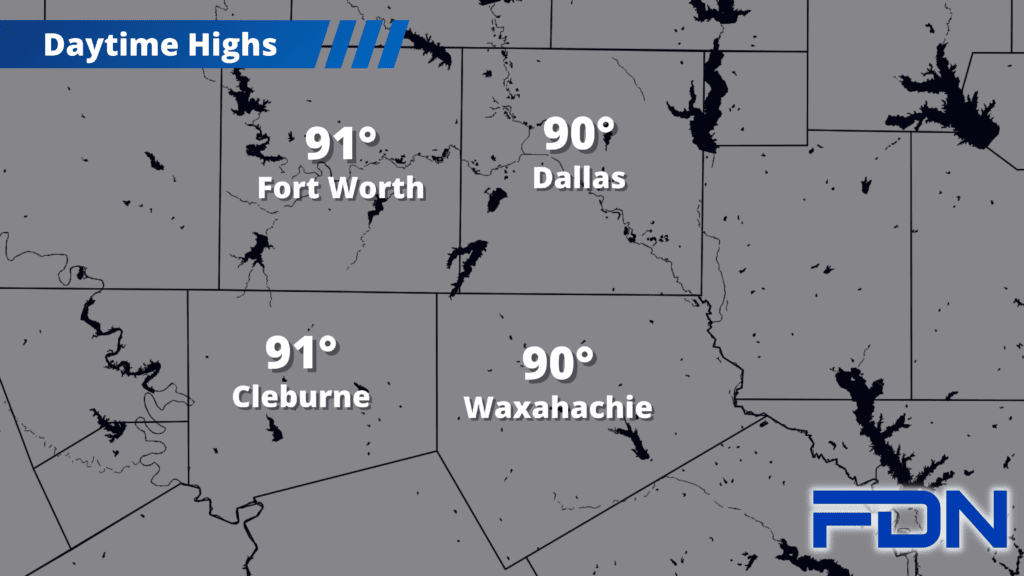
This morning a decaying complex of showers and thunderstorms is moving in from the west – we may get some sprinkles and gusty winds, but that will be about it. A better chance of rain arrives tonight with the arrival of the cold front. Highs today will top out around 90°. A few showers may linger into tomorrow morning, but then tomorrow should be mostly dry with highs in the mid 80’s.
Another round of storms is possible late tomorrow/Wednesday, with Wednesday once again remaining cooler with highs in the low 80’s. Thursday more storms are possible as yet another disturbance moves through, with highs possibly struggling to reach the 80’s! Friday and Saturday the rain chances continue, but are not as certain at this time. These disturbances get tougher to predict as you get farther out. What is pretty clear is that highs in the 80’s continue.
Sunday looks dry with highs in the mid 80’s.