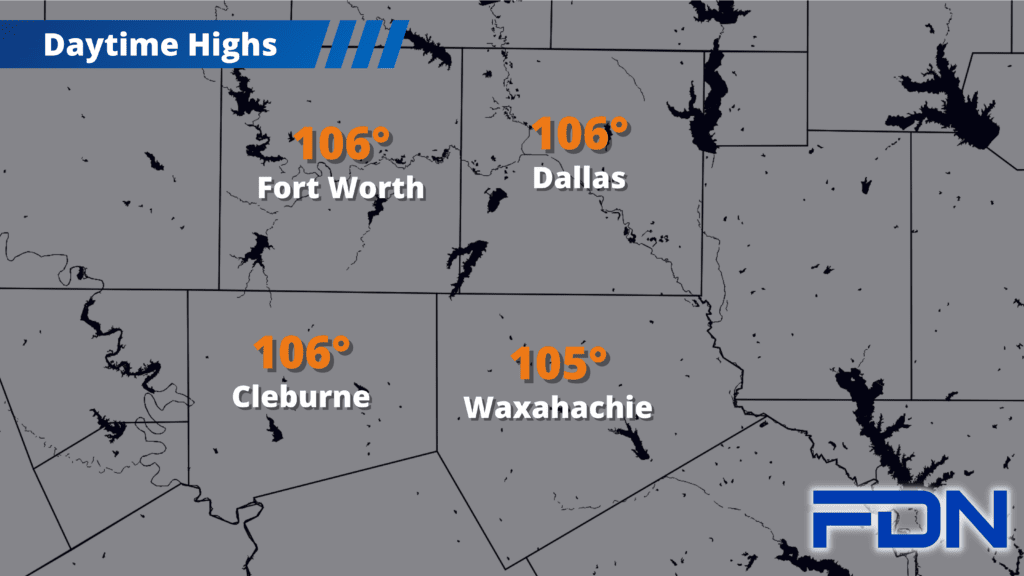
Excessive Heat Warnings continue, but we’ll be gradually cooling down each day as we get closer to the weekend when highs reach only the upper 90’s.
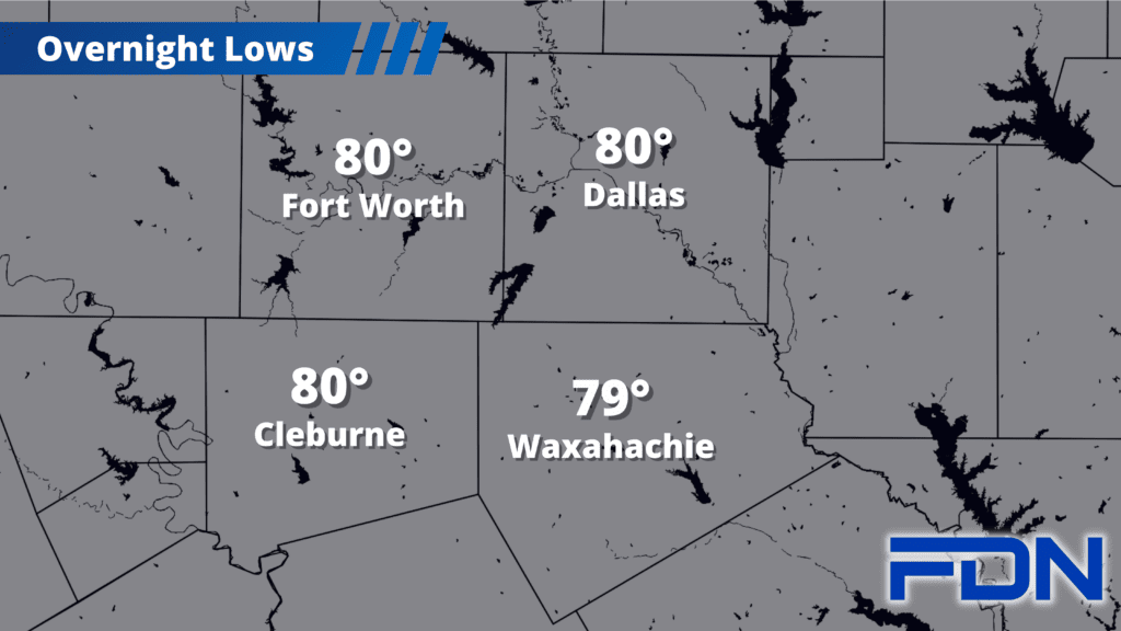
All North Texas counties are included in Excessive Heat Warnings today, effective until 8:00 pm tonight. Temperatures will be in the 105°-106° range today, but humidity will again be less intense allowing for lower heat index values (in some places, none at all – so that it “feels like” the actual temperature). Tomorrow and Friday we’ll be a bit cooler in the low-mid 100’s.
Friday night we should have a cold front moving into North Texas, which should help bring us at least a small, short break from triple-digit temps. A few showers/thunderstorms will be possible as it moves in Friday – but anything we do see will be isolated, and the best chance will be east of I-35.
Saturday and Sunday will be “cooler” in the upper 90’s, and then we’re right back to the triple digits for Monday and Tuesday. Summer rolls on!