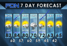
Warm temps will be joined by active weather, but more seasonable temps await us on the other side.
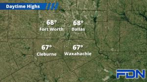
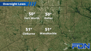
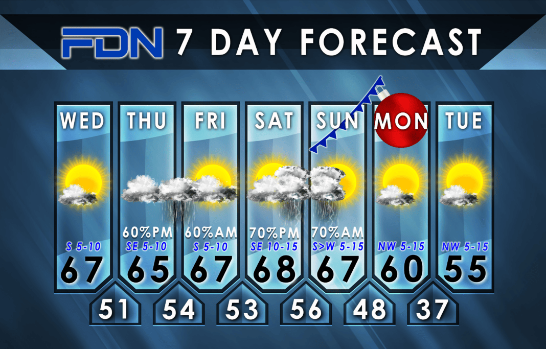
Today will be warm with highs in the mid-upper 60’s and partly cloudy skies. Lows tonight will only drop into the low 50’s. Tomorrow will be mild and cloudy with highs in the mid-60’s.
The first round of rain starts tomorrow evening/night and continues into early Friday. This should be mostly just rain. We should get a lull in the activity Friday afternoon with highs in the upper 60’s and some sun. Saturday looks to be dry, then another round of showers/thunderstorms arrives that night into Sunday with the arrival of a Pacific front. This looks to be a higher-coverage event, and while the likelihood of strong/severe storms looks fairly low, I can’t rule it out. I’ll be monitoring this. The good news is it looks like most – if not all – of the activity will be confined to the first half of the day, which on its own will mitigate any severe weather risk.
Rain amounts expected through Christmas Eve have been going up, and we could see up to 2-4” of rain by the time it’s all said and done. The good news is we won’t get it all at once.
A cold front arrives late Sunday/early Monday to drive out any lingering moisture and bring in cooler air. Christmas Day looks to be dry, breezy and cool with highs reaching around 60°, then overnight lows dip into the mid-upper 30’s. Tuesday will be another cool, breezy day with highs in the mid 50’s.
