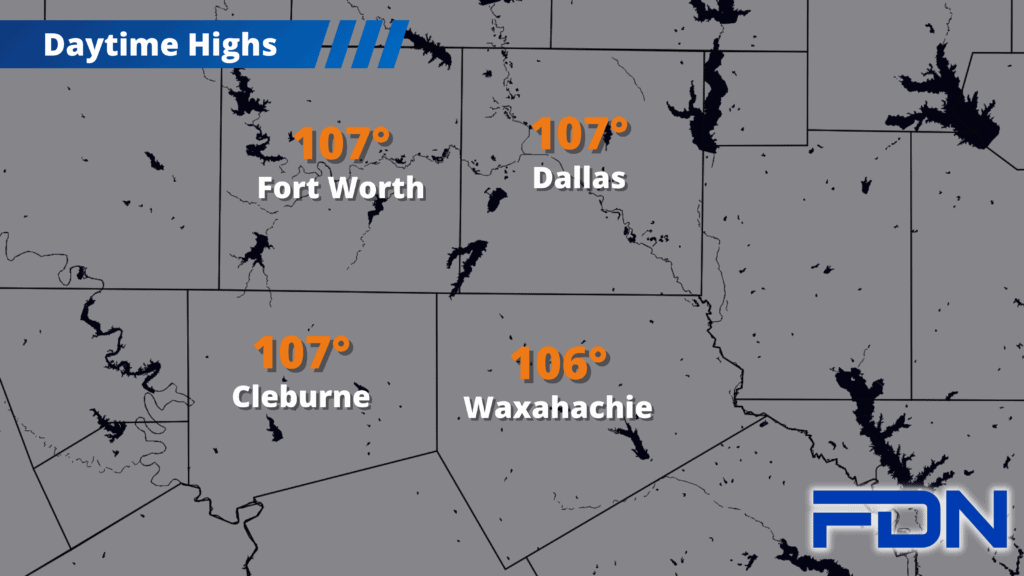
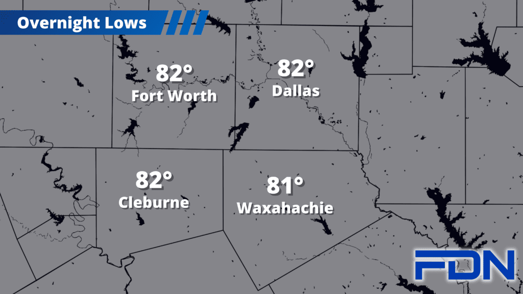
The hot, dry pattern will continue to persist, even as average high temperatures continue to drop.
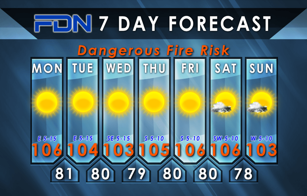
Today and tomorrow we’ll be stuck in the mid-100’s, then Wednesday we drop a bit to the low-mid 100’s. Thursday, Friday and Saturday we’re back to the mid 100’s, and then the low-mid 100’s again Sunday. A few clouds are possible this weekend, so hopefully we can get some more of those to come in and cool things down a little.
Excessive Heat Warnings and Red Flag Warnings are in effect for our area today, so safety precautions will need to be taken in regard to staying healthy and not starting any fires.
I’m watching models as they suggest a front will move in early next week. They disagree on timing of arrival and the front’s intensity, so it’s not clear enough to really push a forecast yet. I’m hoping we start to see a consensus by this evening/tomorrow morning so we can communicate something a little concrete (not that doing so will mean it can’t completely change by the time we get there).


