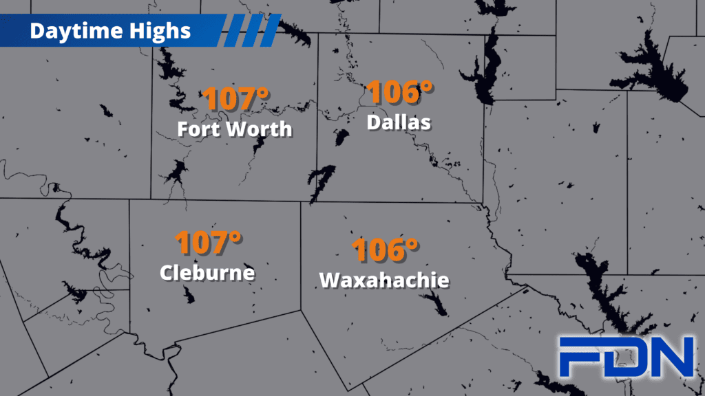
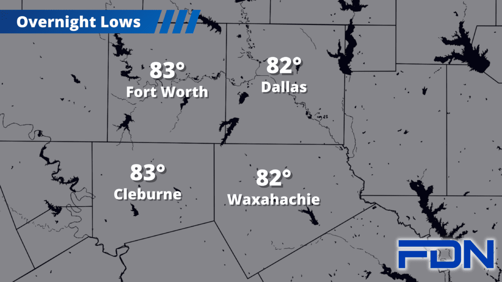
This week remains a in volatile pattern of dangerously hot and dry conditions, with only slight relief in the forecast for next week.
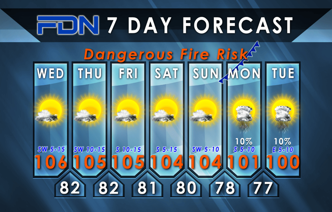
Today’s temps should be similar to yesterday as high pressure remains overhead. Breezy winds out of the south will continue our critical fire danger, and Red Flag Warnings including Hill and Johnson Counties remain in effect until 1:00 a.m. tomorrow morning (in addition to the Excessive Heat Warnings that continue through tonight at 8:00 p.m.).
We should gradually cool some over the next few days, but only a degree or two. Deeper change is expected for Monday and Tuesday as the high pressure dome shifts west and allows for some relief here. A “cool” front will approach the Red River, but whether it will make it across is anyone’s guess; It seems even less likely to make it here. I have us dropping down to around 100º-101º, but that’s about it. The dome should shift eastward after that, putting us back in the same hot regime we’ve been stuck in.
August is normally our hottest month, so we’ll unfortunately have to stick it out a while. Just remember that we are now less than a month away from the beginning of Meteorological Spring on September 1!


