It’s hot and dry this weekend, but there is a weak cold front on the way.
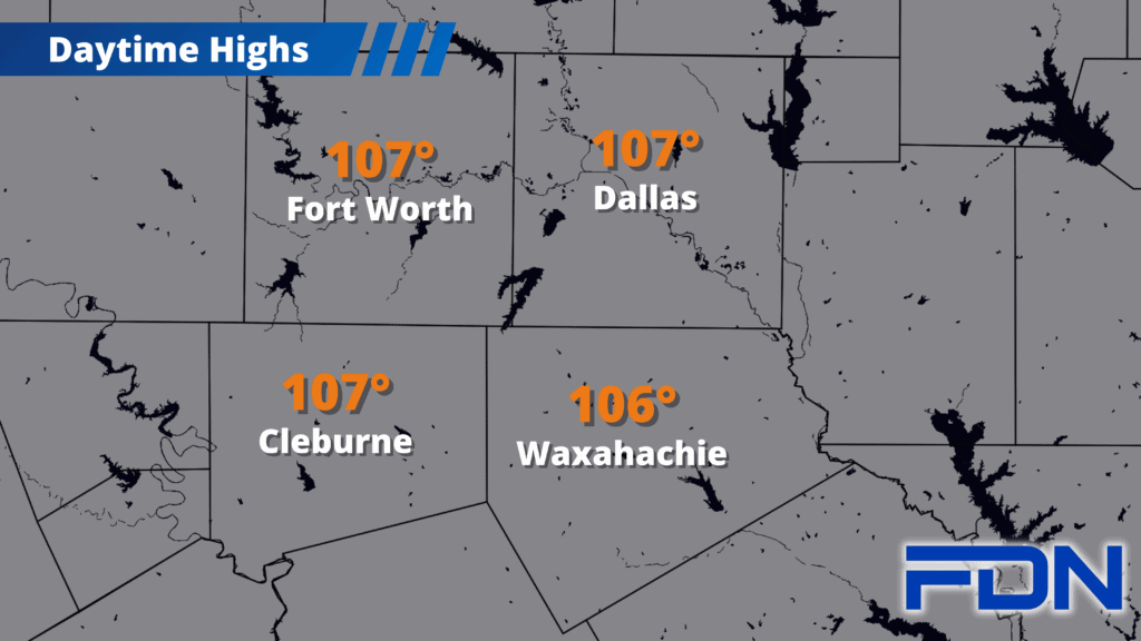
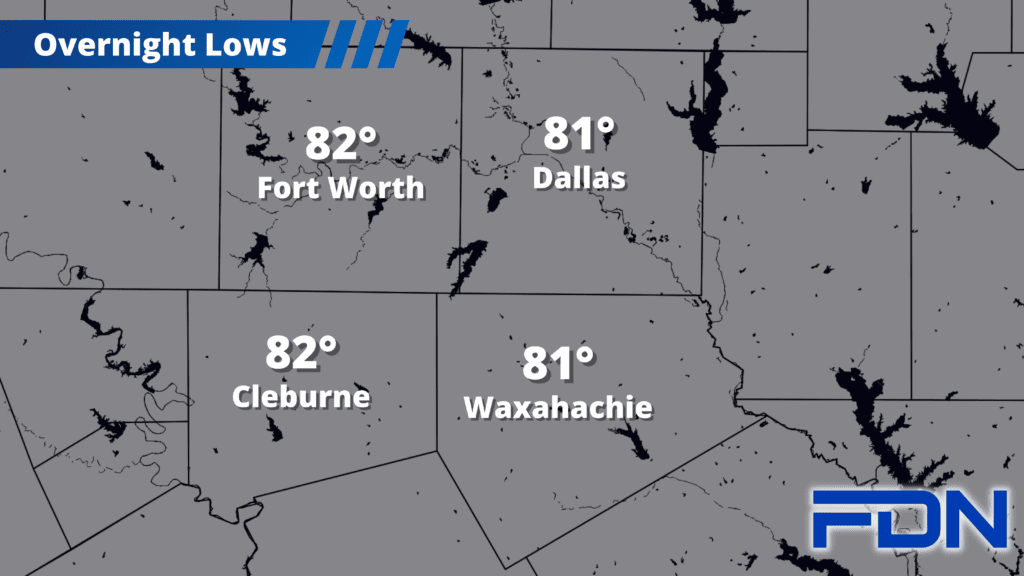
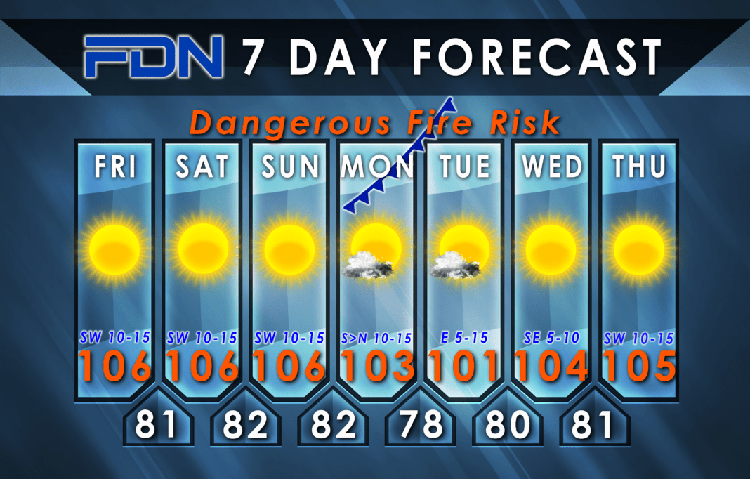
I have us at 106°-107° today, tomorrow and Sunday. Humidity will come down some but winds will remain breezy/gusty, so fire danger goes up a bit today from the last couple of days. Overnight lows will remain in the low 80’s.
Monday a “cool” front arrives sometime in the afternoon/evening. The timing of the front will help determine our temperatures that day. If it arrives in the evening, we’ll probably warm up to 105°-106°; if it arrives earlier, that will shorten our warming trend. Right now I have us at around 103° to split the difference. Winds will shift to the north behind the front and remain there overnight, and could be breezy.
Tuesday we will be on the cooler side with east winds and highs right around 100°-101°. Another “it depends” scenario – if we get the front to move farther south, we may stay below 100° that day.
Wednesday and Thursday our southerly winds return and we jump right back into the mid-100’s, but it may actually be short lived if the next front hinted at in long-term models makes it down here. Remember what I said about us gradually trending cooler as fronts become more intrusive? Stay tuned!
