Another cold front has entered the 7-day forecast, but until then, heat persists and skepticism rules.
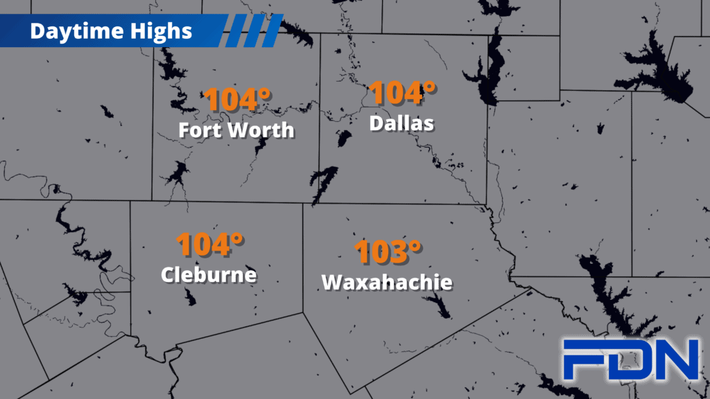
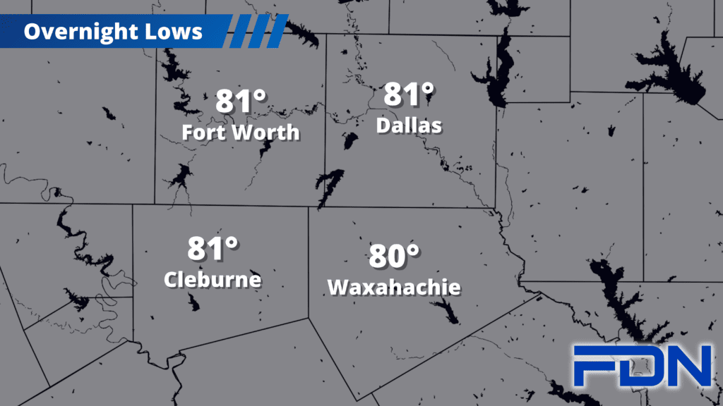
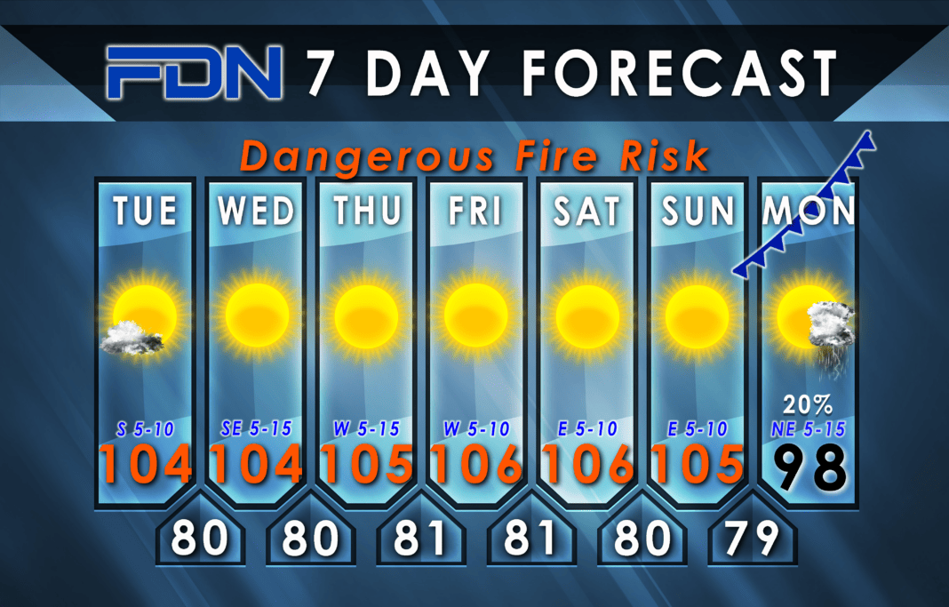
A few clouds from Tropical Storm Harold should help us stay a degree or two cooler than where we otherwise should be (all the rain will stay south of us) as we reach the low-mid 100’s. The rest of the week we’ll be in the mid 100’s with sunny skies and lighter winds.
Monday we might just get a pattern shift that could stick around a while. I have highs in the upper 90’s, but as always, the timing of the front will determine the temperature that day. I also have a chance of rain, albeit a low one. Long-term models show lower temps actually sticking around a little while, so it could be a cooler end to August and start to Meteorological Fall on September 1. It’s still on the far end of the forecast, though, so we’ll watch for changes as we get closer. For now, keep the faith!


