This week will be one of the more intense weeks we’ve had so far this Summer, and the fire danger really can’t be overstated as dry conditions meet increased wind speeds.
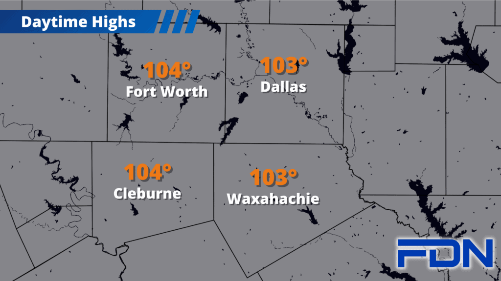
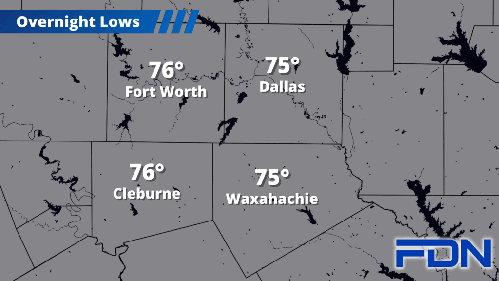
We’ll be in the mid 100’s all week. Today we reach the 103°-104°, and could reach as high as 107°-108° Monday-Wednesday. The latter half of the week looks a bit cooler. Winds will be picking up as well, peaking Tuesday-Thursday. Winds should calm some as we get into the weekend. Humidity should remain low as well. All of this is a recipe for critically dangerous fire risk area-wide, so we’ll have to be very cautious and follow all burning prohibitions. Don’t let the “It’ll never happen to me” mentality turn your situation into a news story.
I’m still watching this weekend for rain chances, stubbornly eyeing weather models to see where consensus can be found. It looked like we might have been getting somewhere last night, but this morning brought more divergence. It seems the only consensus at this point is that there will be a shift of sorts coming this weekend, probably Sunday, as the ridge of high pressure backs off a bit. Whether we get a decent rain event or little to none at all depends on which model you’re reading – but the future will become more and more clear the closer we get, so keep watching this space for updates.