We’re cranking up the heat a bit this week, but we will less humid and in triple-digit territory.
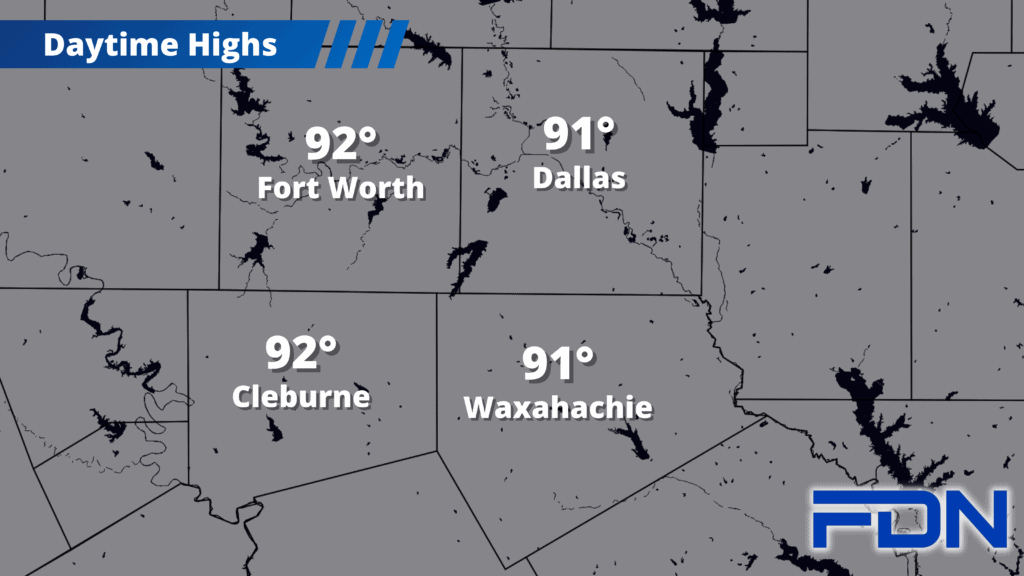
High pressure is on its way back, but fortunately, we’ll have a more Fall-friendly version as temps top out in the mid 90’s instead of the triple digits. It will also be less humid, so that will help facilitate our warmer temps – but it won’t be as uncomfortable as the other heat waves we’ve had recently. Winds remain fairly light most of the week, but will increase starting this weekend. Overnight lows will be in the upper 60’s and low 70’s. Night time hours getting longer will help us cool down quicker and stay cool longer, so evenings will be decent once the sun sets.
While the eastern half of our area got a decent amount of rain on Sunday night, the western half didn’t. Johnson County has reinstated their burn ban. Even our eastern counties are still dry. Moral of the story – keep up the safe practices out there!