We continue our ‘normal’ weather for the rest of this week, but next week’s forecast is coming into focus and shows a decent cool-down with our next storm system.
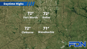
We will finish out this week with highs in the upper 60’s and low 70’s. Wind will be pretty light today and tomorrow, but we will see them pick up a bit as we get into the weekend. A quick wind shift Saturday will limit most of us from reaching the low 70’s, but it’s not a big shift in temperatures.
Our next pattern change will set in gradually, starting with a few showers/storms possible Sunday with the arrival of a pacific front (severe weather not expected). Breezy southerly winds will keep us on the more mild side with highs in the upper 60’s. Monday the strong front moves in (timing is flexible but looks to be later in the day), and we look to reach at least the mid 60’s before temperatures start to tumble. A few more showers/storms will be possible Monday as well, but severe weather still isn’t expected during this time. Tuesday we’ll be cooler with highs only reaching the mid 50’s.
We are closer to seeing Thanksgiving within 7-day forecast range, but models still have some disagreement in terms of temperatures. The question is whether the cool air we’ll see behind this front sticks around, or we warm up. If the cool air stays, we could remain in the 50’s – but if we warm up, we’ll likely be back in the 60’s. Not a huge difference either way, but could be the deciding factor for your wardrobe. Stay tuned!