The excessive heat is back for a few days before a cold front arrives to bring us closer to “normal” temperature range.
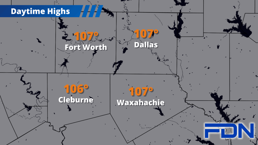
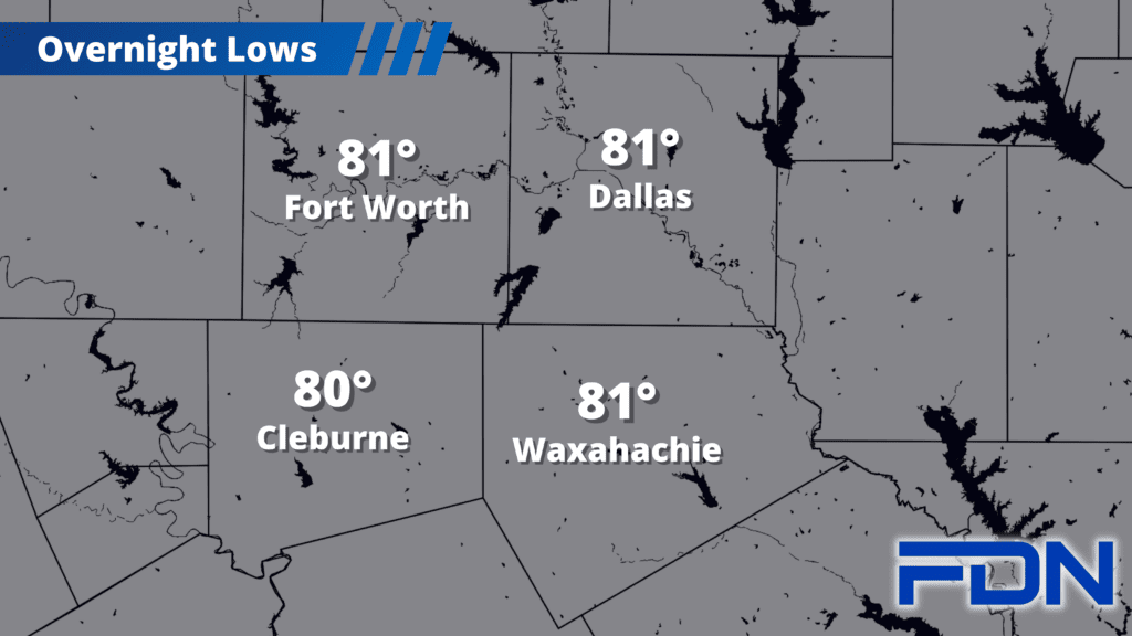
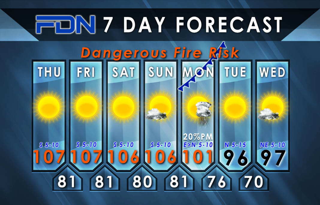
Temperatures will be in the 106°-107° range through the weekend, with Excessive Heat Warnings included. Overnight lows will be in the 80°-81° range, and the dry weather continues as well. We’ll have to endure these temps until next week when things finally change.
Monday we start warming up as normal, but then a cold front arrives in the afternoon that should limit our heating to the low 100’s. As we get closer that timing may change, which would change our high temp for that day. A few showers/thunderstorms are possible as the front heads in, but it doesn’t look like a widespread event.
Tuesday and Wednesday we’ll be in the mid-upper 90’s with north/northeast winds. Beyond that it looks like we’ll get back to the triple digits, but more 100°-101° than 105°-106°…so while it’s still hot, it’s not as bad as the excessive heat we’ve had so much of this Summer. Additionally, Pumpkin Spice Lattes go on sale at Starbucks today – so you know Fall is almost here!
