We could see some of the highest temperatures of the season over the next few days – but like the Star Spangled Banner at Fort McHenry, the signs of Fall are still there!
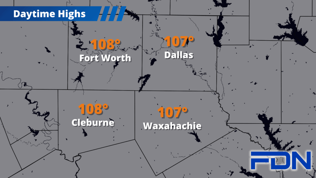
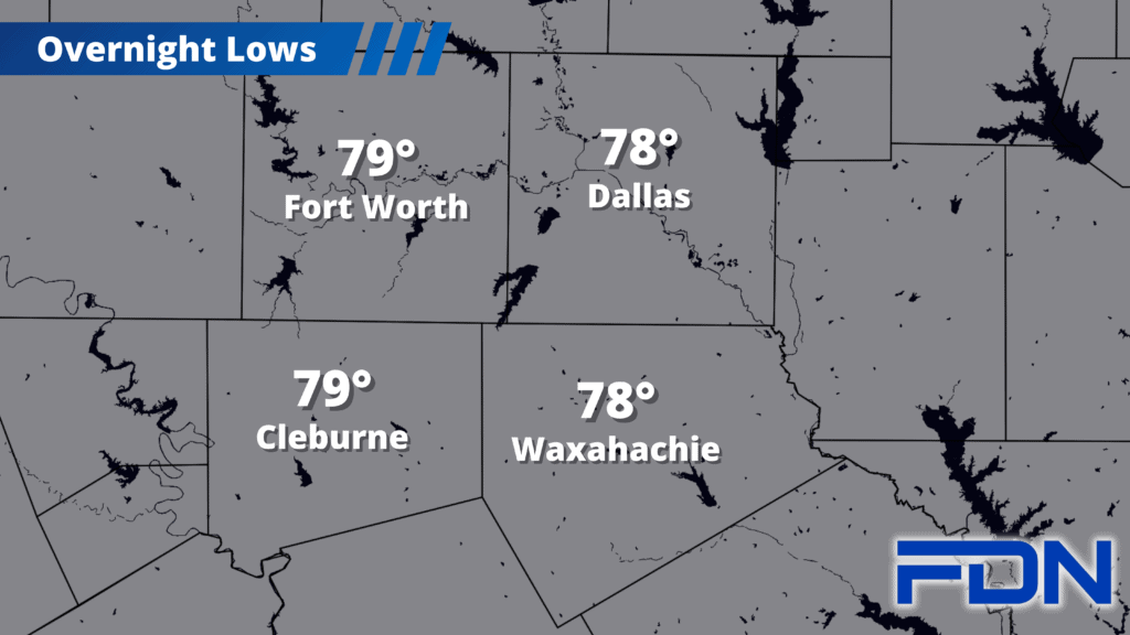
Temps will be in the 107°-108° range for the rest of the week, and the 106°-107° range for the weekend. Excessive Heat Warnings are in place, and dangerous fire risk conditions will remain. We will need to be mindful and careful over the next few days, taking care of ourselves and making sure to avoid any actions that could spark fires that would be easy to start and quick to spread.
Monday and Tuesday our temps start to drop, and then I have us in the upper 90’s Wednesday with a chance of rain. This is in part due to a tropical system that could develop in the western Gulf of Mexico, and easterly flow that will develop as the high pressure dome shifts northward. Right now it doesn’t look like rain will be widespread…but that could change if that system in the gulf develops and ramps up.
Tropical activity is ramping up right on schedule, and another disruption of the triple-digit heat is in the forecast. The Road to Fall is progressing nicely – even if it requires some patience as Summer fights to maintain its hold.