Most of us got rain yesterday, and all of us woke up to cooler air this morning. We’ll eventually warm up – but not as warm as it has been.
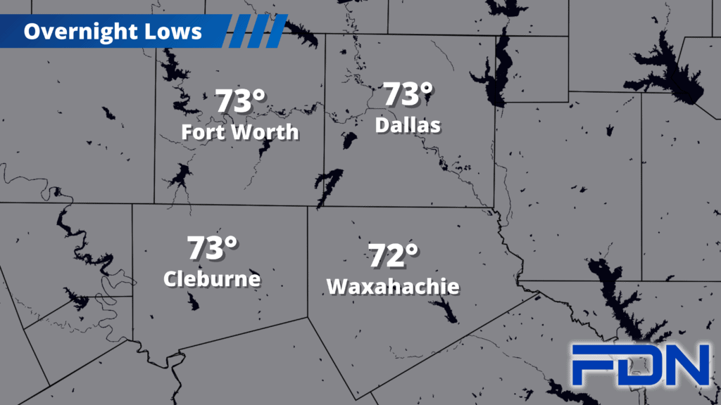
Today’s highs will be in the mid 90’s after a comfortable start to the day in the mid 70’s. We may see a few showers/storms south of I-20 this afternoon – though I don’t expect anywhere near the coverage we saw yesterday. Winds will be breezy out of the northeast. Tomorrow will be about the same with highs in the mid 90’s and breezy northeast winds – but without the rain chances.
Wednesday and Thursday we start warming up to the upper 90’s, and then we’re back to the triple-digits by the weekend – though lows in the 70’s hang around. The good news is we aren’t headed for 105°-107° like we’ve had so much of recently, and Sunday may actually trend cooler if things go the right way with the high pressure ridge. Time will tell. For now, we can rest assured that we have turned a corner so that we have cooler temps than the excessive heat we’ve been bogged down by since July.