A cold front is moving through North Texas and will give us a temporary respite from this relentless heat…before it returns later this week.
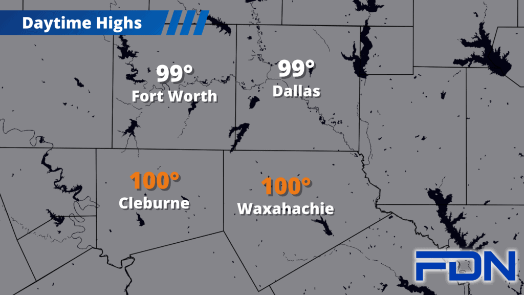
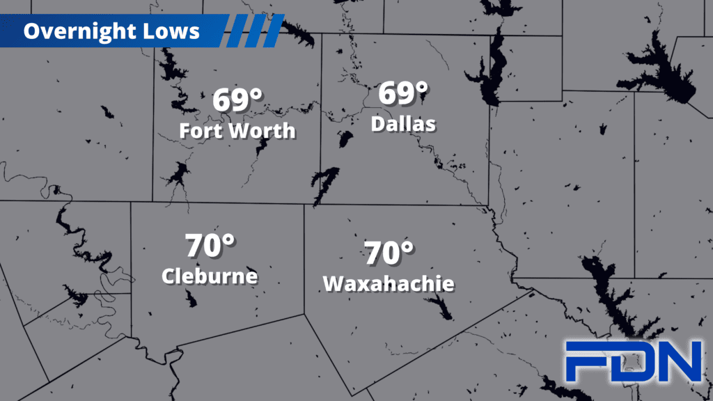
The cold front is moving through the Red River counties, moving slowly southward. I expect it to move south of Dallas around 1:00 – 2:00 pm. It will take its time, but it will be worth it. I’ve had to bump temps up a bit from last night due to the timing of the front, and we should only reach around 99°-100° before the front halts the day’s heating. The National Weather Service has heat advisories (heat index values of 105°-110°) for Ellis and Johnson Counties (no warnings for Dallas & Tarrant). I’m not sure we’ll quite reach those levels, though it is humid ahead of the front. Just be prepared for some heat ahead of the front’s arrival in the mid-late afternoon hours. That moisture in the air could spark a few showers/thunderstorms this afternoon/evening in our southern counties as the front moves through, though no severe weather or widespread rain is expected. Tonight we drop all the way down to the upper 60’s and low 70’s!
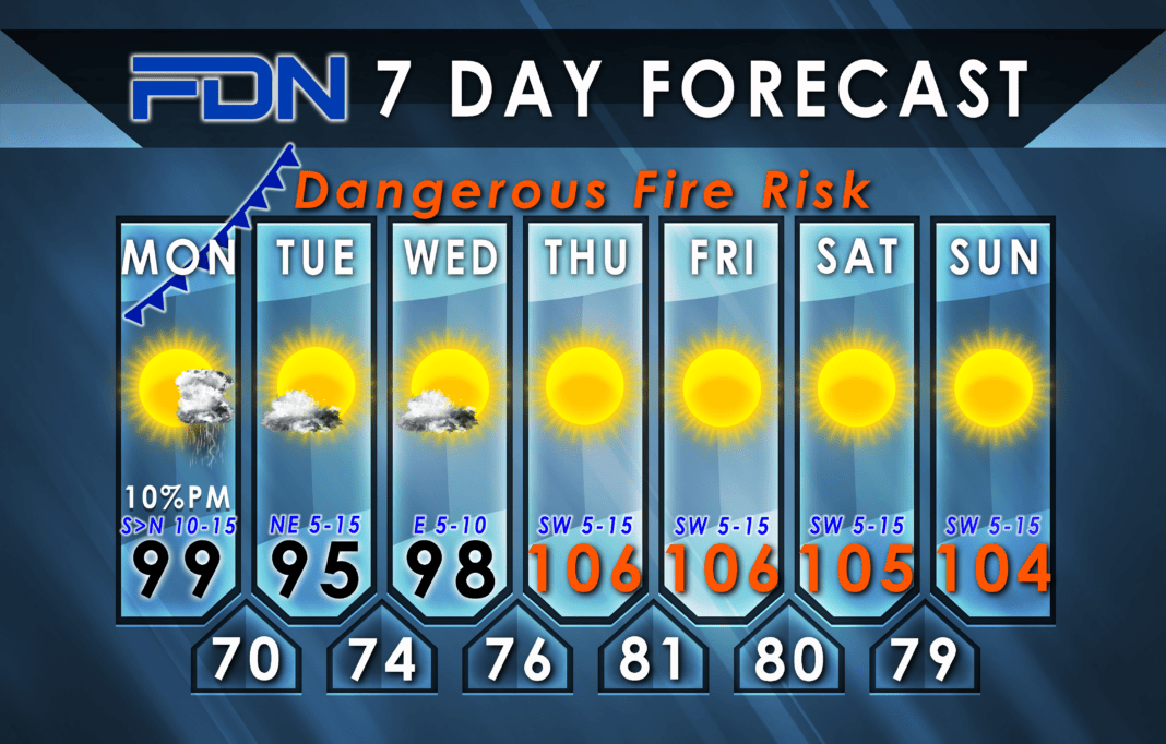
Tomorrow we should only warm up to the mid 90’s with a north breeze, and tomorrow night we drop back down to the 70’s. Wednesday we start warming back up, but we should still be below the 100° mark.
High pressure and temps in the mid 100’s return Thursday and Friday, then the weekend looks to maybe be a degree or two cooler.
Let me remind you: Yes, this cold front only gives temporary relief, but is part of a larger shift in our overall weather pattern. This is the most intrusive and impactful front we’ve had in weeks, and, to me, signals the beginning of the road to Fall. The “normal” or “average” temperature starts to drop over the next few days, and Summer conditions should slowly but surely start winding down as we get closer to September 1. If nothing else, El Niño will really make things shift big time this Fall and into Winter – bringing cooler, wetter conditions to replace the Summer madness.


