Wet and cold weather are on the way for today, and we’ll stay mild for the rest of the forecast period.
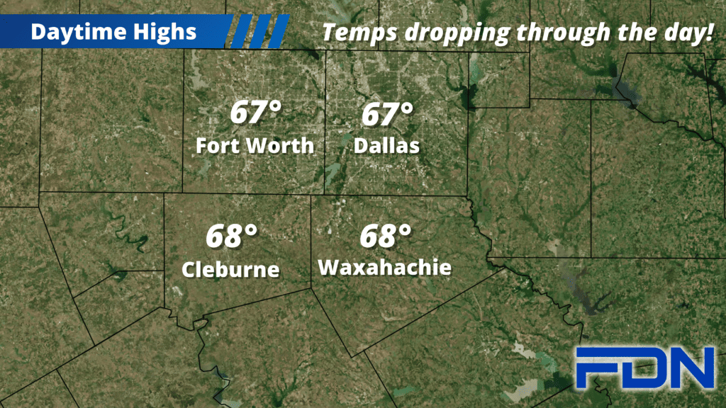
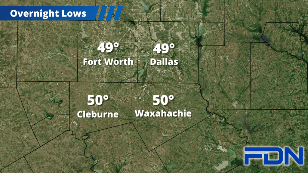
Today the cold front is slowly but surely moving through our area, but the rain and cold air are lagging behind. The colder air should start filtering in over the next few hours, along with rain increasing in coverage from southwest to northeast. We’ll be in the 50’s by the afternoon hours with widespread rain, and we drop to around 50° overnight. Rain amounts of .5” – 1” can be expected, with some getting closer to 1..5” or so in some isolated areas.
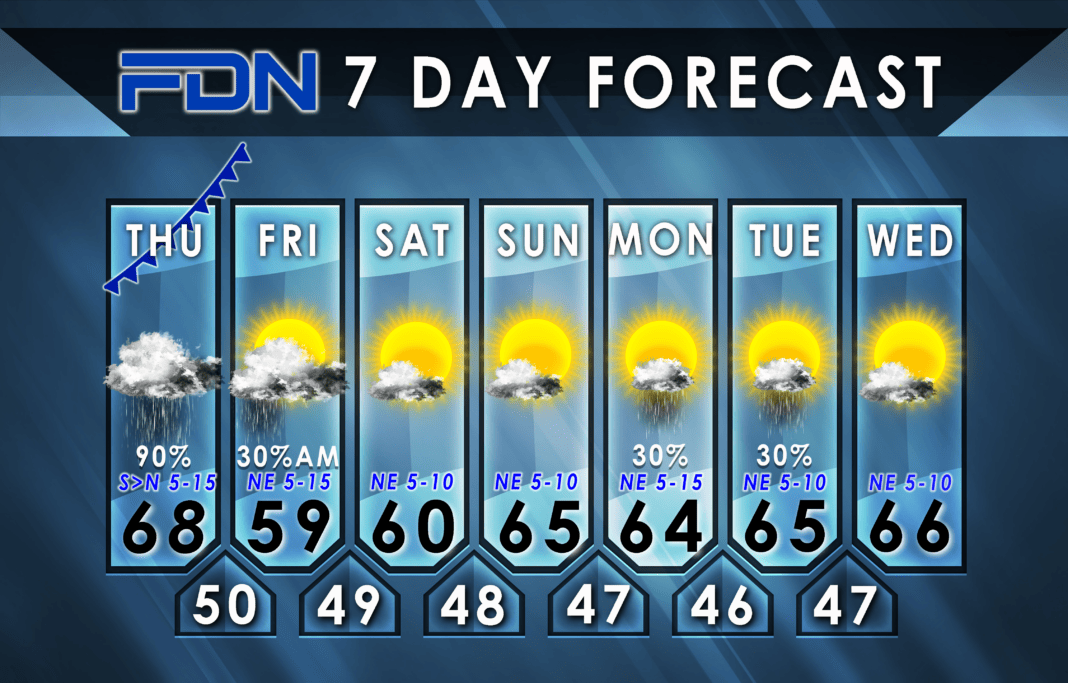
Tomorrow we may see some lagging moisture – especially in our southern counties – but we should get rid of all of that by noon. Clouds will likely stick around, and highs will be in the upper 50’s to around 60°. Northeast winds could be breezy at times. Saturday we will be about the same, then Sunday we warm up to the mid 60’s. Overnight lows should stick around them mid-upper 40’s.
Our next chance of rain arrives Monday & Tuesday, though right now overall rain chances look low. Highs both days will be in the mid 60’s. Those temps continue Wednesday, with dry weather expected. Lows each night will be in the mid 40’s.


