Temperatures will be warmer this week, but the next cold front is already in sight and expected to arrive this weekend.
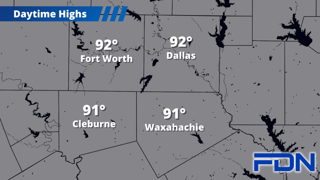
Temperatures in the low 90’s will be the norm this week as we return to the warm side of seasonal temperatures. Humidity will be fairly low today, but will increase tomorrow as southerly winds pick up.
A disturbance will pass by to our north tomorrow and Wednesday, bringing low chances for showers/thunderstorms (mostly to our north, but we could see a stray storm on the tail end). A marginal risk of severe weather stretches as far south as Ellis and Johnson Counties, but I think overall chances of getting anything at all are pretty low. Highs will remain in the low 90’s.
Warm temperatures continue Thursday, Friday and Saturday with highs in the low 90’s – possibly approaching the mid 90’s Saturday with compressional heating ahead of the cold front. It looks right now like the front will arrive late Saturday, though that could change as we get closer. Sunday does look cooler with highs in the mid-upper 80’s, and I have a low chance of showers/storms each day.