How Long Will Triple Digits Last?
August kicks off in style with oppressive heat continuing – but a pattern change is on the way!
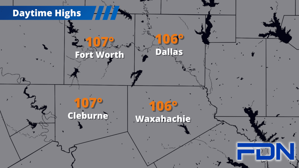
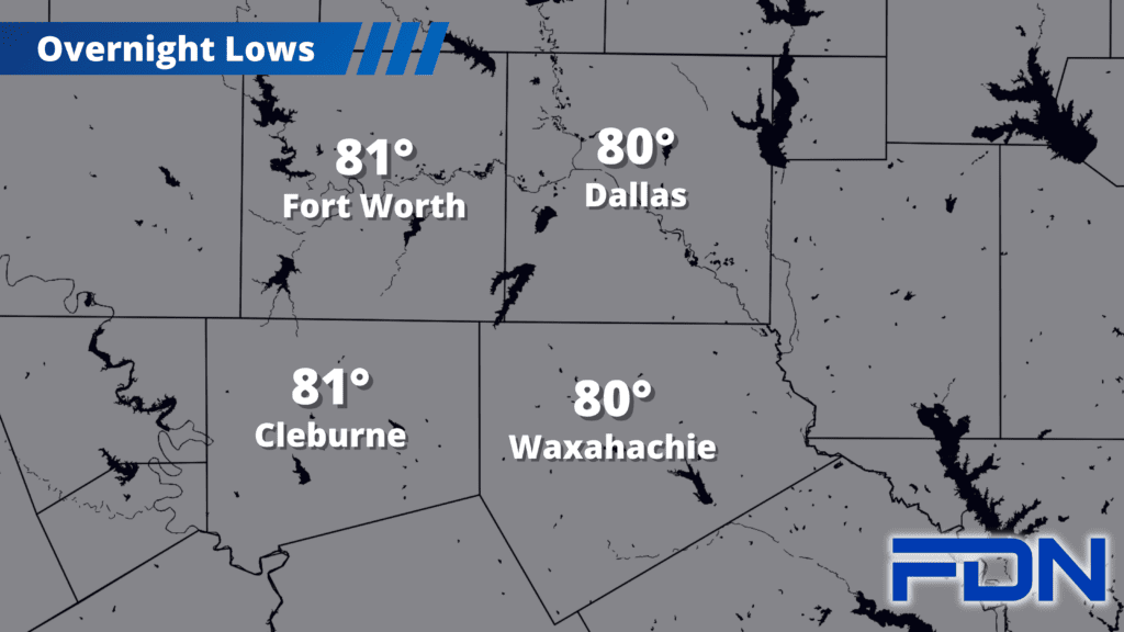
Excessive Heat Warnings including all four counties are in effect through tonight at 8:00 pm, though I expect that will be extended later this morning. Highs of 106º-108º will be with us the next few days, along with low humidity and breezy south winds that will make our area very susceptible to quickly spreading wildfires. Temps should drop closer to 105º for the weekend.
I’m continuing to watch for this pattern change, which now looks to be focused on Monday of next week. I have a 10% chance of rain, as most rain associated with the cold front will likely be north of us closer to the Red River. I’m shooting for temps of 99º as I think most of us may not even reach the triple digits that day.
How long will this cool down last? Time will tell. We’re still waiting for more assurance on the forecast for Monday (or signs the pattern shift will be earlier/later than expected), so looking beyond that is pretty iffy. One thing is for sure, we’ll take what we can get!