We have more storm systems on the way, and temperatures will be warming up as we go through the week.
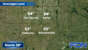
Today we’ll start out cloudy but should see more sun later this afternoon. Winds will be breezy out of the north/northwest and highs will be mild in the low-mid 60’s. Overnight tonight we’ll cool into the upper 30’s. Tomorrow brings more sun and highs in the mid 60’s, with modest winds switching back to the southeast. Overnight lows will be in the low 40’s.
Wednesday we’ll see clouds increasing again as the next storm system in line approaches, and winds will be breezy out of the south. Highs will again be in the mid 60’s, but clouds keep us in the mid 50’s overnight. Thursday we will be warmer with highs in the low 70’s and a few showers/thunderstorms (mostly to our southeast) as that storm system and a pacific front pass by. Winds will continue to be breezy out of the southwest. Overnight lows settle around 50°, and then Friday looks dry and less windy with highs in the low 70’s.
The next storm system arrives this weekend, though timing is still in flux. Right now it looks like the best chances for showers/thunderstorms will be late Saturday and Sunday, but we’re just too far out to know for sure. We’ll get a better idea in the next couple of days, and should also have a better understanding of whether we’ll see stronger storms mixed in as well. Highs look to be in the mid-upper 60’s. Stay tuned for updates as we get closer.