The excessive heat continues for one more day before a cold front arrives that will put us into the 90’s for the entire work week, and may even shift our pattern away from the mid-upper 100’s for the rest of the year!
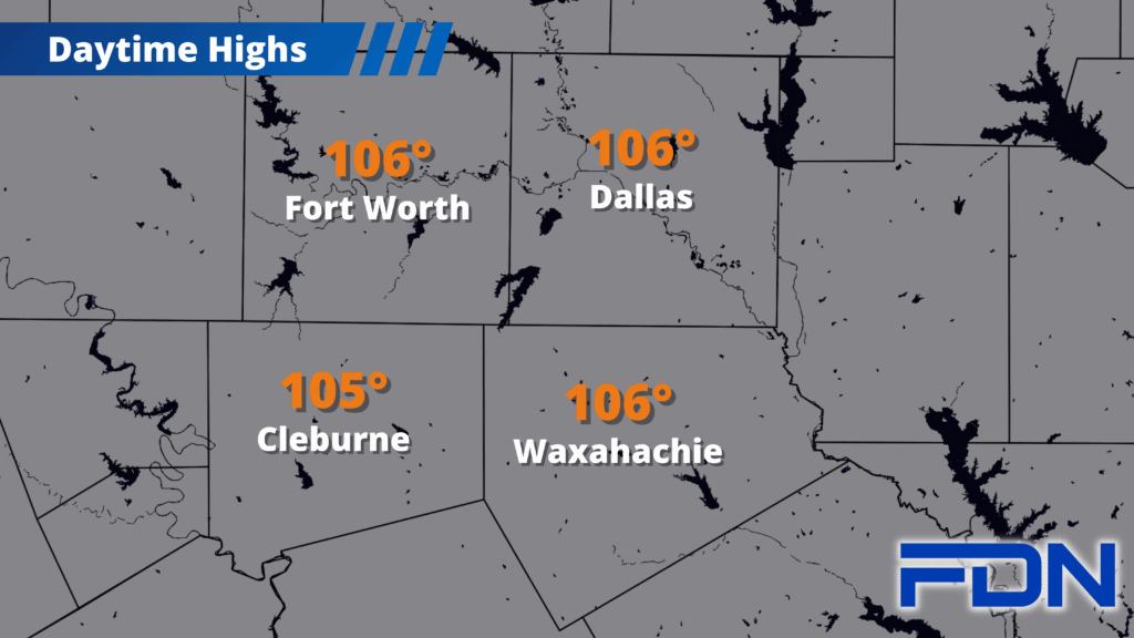
Today we climb into the 105°-106° range with a few showers/thunderstorms possible this afternoon (similar to the isolated pop-up storms we’ve seen the last couple of days). Southwest winds of 5-10 MPH won’t be as windy as has been the case recently, but we will need to still be very cautious about fires.
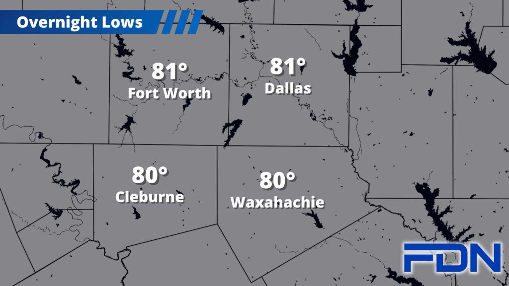
Tomorrow we start the day warming up as normal, but the front should move in during the early afternoon hours. I think we will still warm up to around 103°, depending on when the front – and the cooler air – arrive in our area. A few showers/thunderstorms will be possible tomorrow afternoon/evening and Monday morning. Tomorrow night have lows the upper 70’s, then Monday, Tuesday and Wednesday should all be in the mid 90’s with dry air and breezy northeast winds. As pleasant as this will be, we will still be very dry…so the increased winds will only raise the fire danger for our area. We will still need to keep that in mind.
Thursday and Friday we start warming up again with temperatures in the upper 90’s, and we could be in the 100’s by the weekend. That said, I expect it to be low 100’s – not the excessive heat we’ve had so much of. I think we may FINALLY be turning a corner; And it’s about time – September, and Meteorological Fall, start on Friday!