The heat will be brutal this week, but I have added rain to the forecast for Sunday. There’s hope!
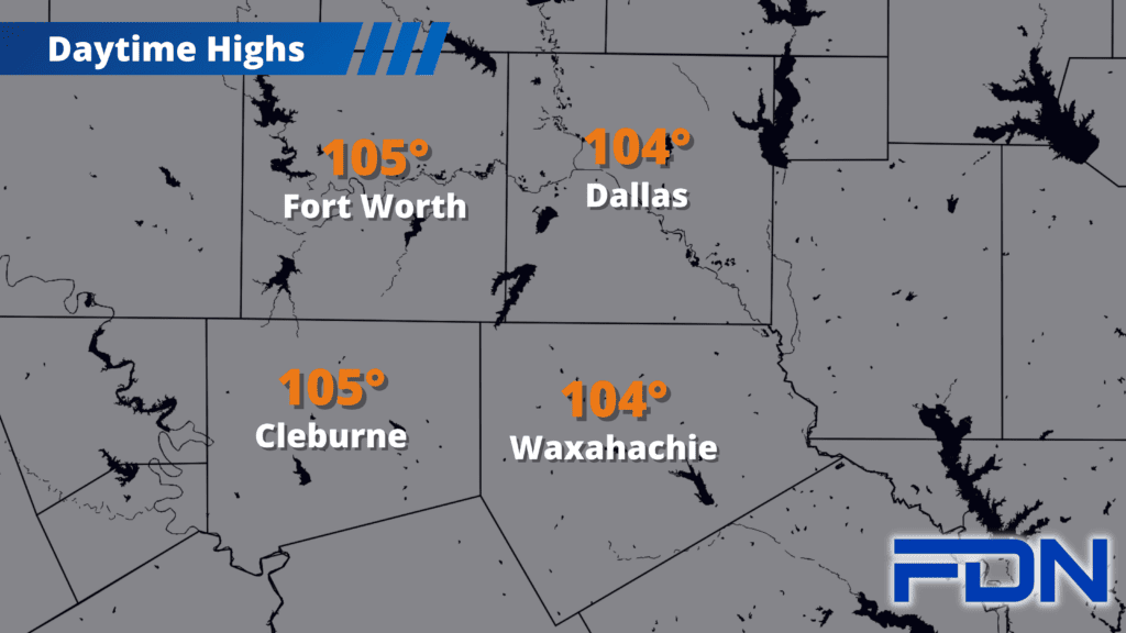
There’s no other way to say it: it’s just hot. Temps will hang around the mid 100’s this week, topping out at 107°-108° in some places. Excessive Heat Warnings continue through 8:00 pm. The ridge of high pressure will be parked right on top of us, disrespectfully cooking us day after day. We’re ending July in true Texas Summer fashion. Winds increase as the week progresses, which will increase the fire danger as well. While Ellis, Johnson and Tarrant Counties already have active burn bans, Dallas County meets tomorrow to discuss their own. This is the week to stay safe if you’re outside – keep your sparks away from dry grass/brush, stay hydrated and shaded, and just try to stay inside during the afternoon hours.
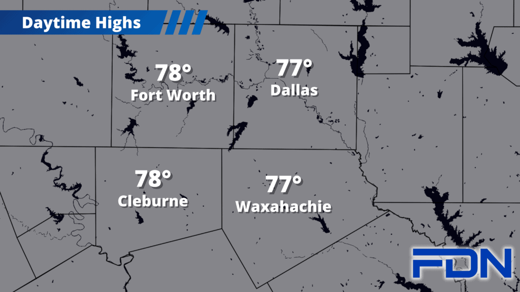
As we get to the weekend, the heat continues Saturday but Sunday looks a little more interesting. Right now, the prevalent models – GFS and European – disagree about what will occur. GFS has held on to a chance of rain and a shift in the ridge of high pressure for several days while the European model has remained stubborn in holding the ridge closer and only allowing a little rain (and it’s even waivered on that). This morning, there’s still disagreement, but I think the GFS deserves some credence in the forecast since it’s held this solution for some time. If it holds, the best chance for rain will be closer to the Red River and we should see temps around 100° to even the upper 90’s by next week. The European model has the misery continuing. So, with all of this considered, I’ve added a 10% chance of rain and temps a couple of degrees cooler for Sunday. The closer we get, the better idea we’ll get of what to expect. I don’t think there’s really any chance we get a big rain event, at least that’s how it looks now. Stay tuned for updates!