Last night’s showers should end by noon, and we have one more chance of rain before the big cold front arrives.
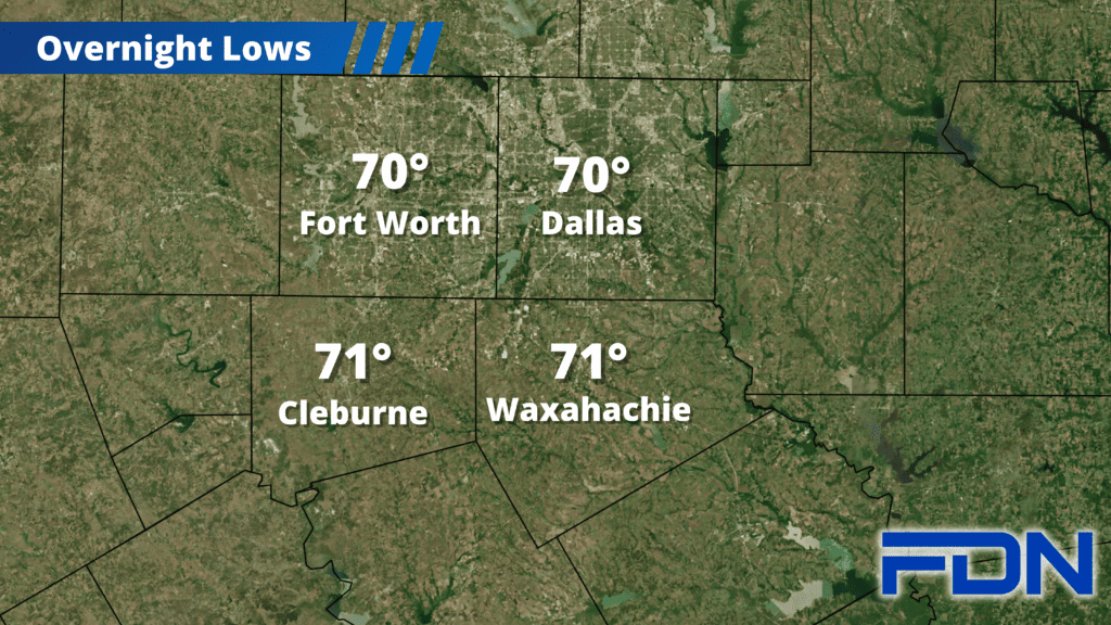
Heavy showers continue across our area this morning, and could continue through midday. This afternoon we have a low chance of a passing shower/storm, but the vast majority of us should stay dry. It will be breezy with winds out of the south as well, and overnight lows should settle around 70°.
Showers and storms return Friday afternoon/evening as a weak front moves in, and highs should return to the low 80’s. Overnight lows will again be around 70° Light showers should linger Saturday morning, and it will be mostly cloudy the rest of the day with highs in the upper 70’s. A front will stall around the area, and the forecast could change if the expected location of that front changes, so stay tuned.
Sunday the front arrives, and should get here early in the day. We will reach the upper 60’s to around 70° before the front brings in colder air and temps start dropping. We should get a round of cold rain behind the front as well. We should be in the 50’s by the afternoon hours. Sunday night we should drop into the low 40’s, and then Monday we will only reach the upper 40’s to around 50°. Monday night we will drop into the upper 30’s, then Tuesday and Wednesday we should top out in the mid 50’s with sunshine returning. Overnight Tuesday night should be in the mid 30’s as the loss of cloud cover allows us to cool more efficiently.