Temps and humidity will be on the high end week, making for fairly uncomfortable conditions far too reminiscent of Summer – but the next cold front is in view.
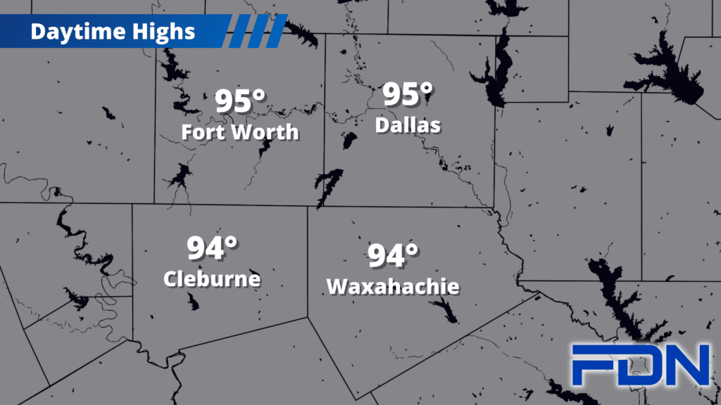
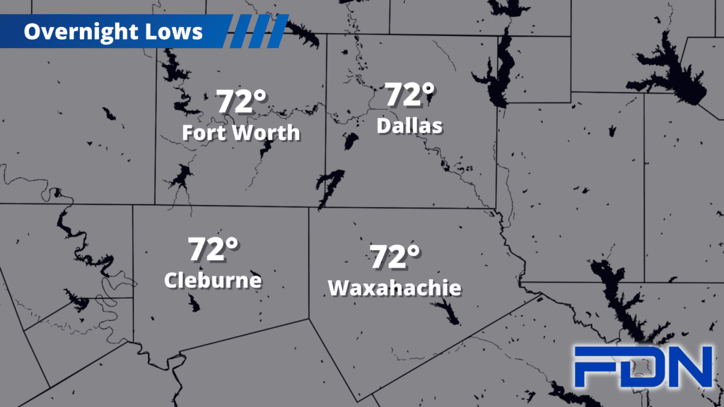
Today will be warm and humid with highs in the mid 90’s, and heat index values in the upper 90’s. Southerly winds will be breezy as well. Tomorrow will be about the same, if not a degree or two cooler – and I’ve introduced a low chance of an afternoon/evening storm or two as a disturbance passes to our north.
Friday and Saturday look to be warm, humid and breezy with highs again in the mid 90’s and heat index values staying in the upper 90’s.
Our next cold front arrives Sunday with a chance of rain – right now it looks like the front will arrive late in the day, so we’ll still reach the low 90’s – but will stop there. It should bring us a decent chance of rain as well. On the back side of the front, Monday and Tuesday look a bit cooler and less humid with highs in the upper 80’s.
Keep in mind that the normal temperature for this area today is 88°, so we’re not far off from normal. Astrological Fall begins Saturday, and that transition should continue helping us gradually cool down.