The bad news gets worse as heat and humidity will be increasing, but the good news gets better as the weekend and early next week look cooler – with signs of a stronger cold front in the cards for next week.
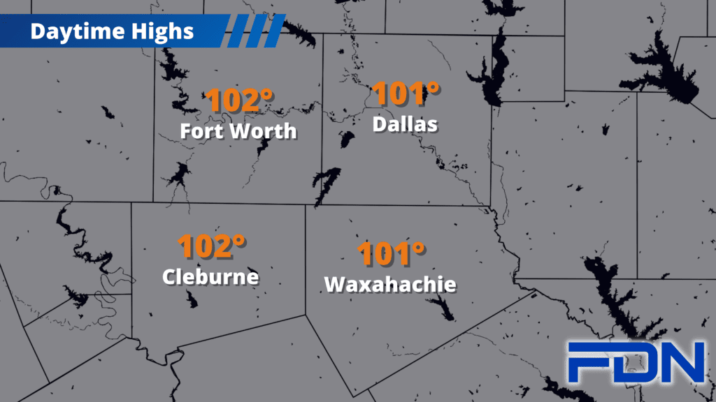
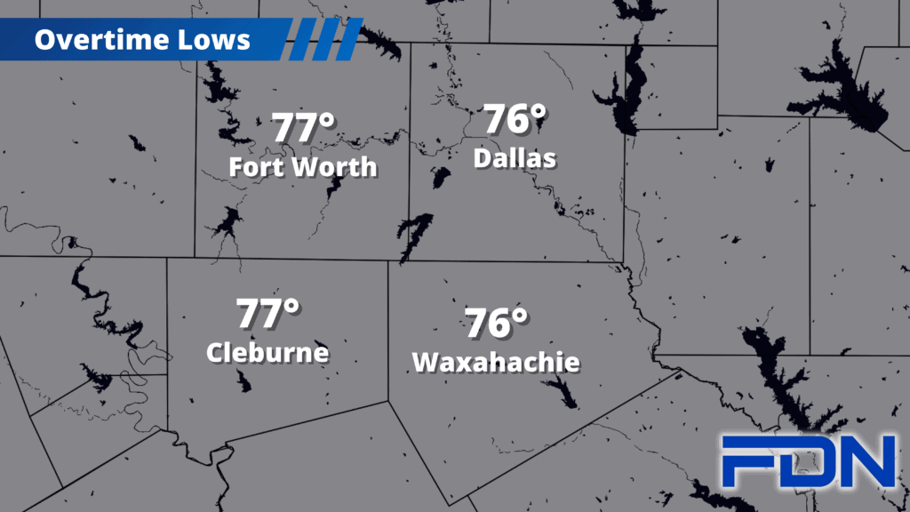
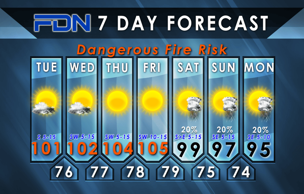
Heat advisories return today as we’ll be feeling the Gulf of Mexico as breezy southerly winds bring us dewpoints in the 70’s. Air temps in the low 100’s will combine with the humidity to bring brutal heat index values as high as 110°. The heat continues tomorrow, then jumps to the 104°-106° range Thursday and Friday as a weak front to our north compresses the hot air and cranks it up. I had hoped we were done with the 105° weather, but it looks like it’s making one last unwelcome visit.
Things start to shift Saturday as that weak front moves into our area and brings temps down below the 100° for most of us (some could briefly hit the century mark), and also introduces a low rain chance. Sunday looks a bit cooler with a few more showers/storms possible.
Now here’s where it gets interesting. A stronger front moves in Monday/Tuesday bringing what is probably our deepest intrusion of cool air since Summer began. I have us in the mid 90’s Monday with a few showers/storms possible, but depending on how this system looks as we get closer, rain chances could go up. Tuesday looks almost too good to be true as there is some talk of highs in the 80’s and more widespread rain! I’m skeptical at this point, but normal high temperature for our area will be at 91° by then, so it’s not unheard of for us to be in the low 90’s and upper 80’s (not that this has been a ‘normal’ season).
It’s finally getting back to a time when I’m excited to hop out of bed and check the latest data. We have SOMETHING other than constant hundreds, and maybe even the big pattern shift we’ve been waiting for! STAY TUNED!


