We’ll end the week with warm temps and a low chance of a passing storm, then start the next with a cold front and a cooler temps.
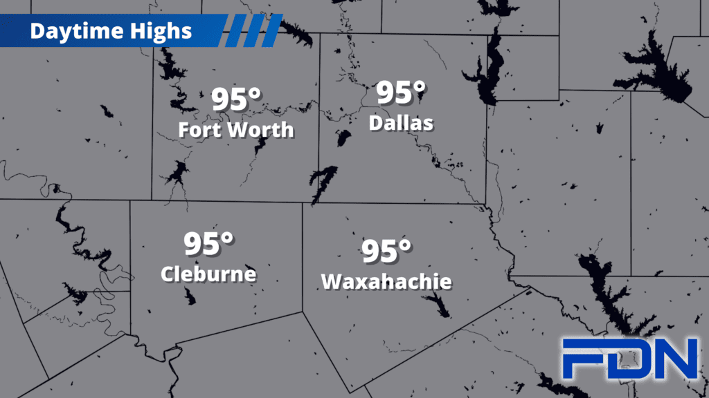
Today will be hot, muggy and breezy with a shower/storm or two possible later this afternoon and evening. A disturbance will pass by to the north and we have a chance for a few showers/thunderstorms this evening, though most of the activity will be north if I-20. Any storm we do get could be marginally severe with strong winds and hail, but I’m not expecting a lot. If we get an outflow boundary that moves our way, or a storm that goes rogue and turns our direction like on Tuesday, then we’ll have a better shot at rain. We could see more rain overnight, but that shouldn’t be as intense. For now, I have us at 20%. Highs today will be in the mid 90’s, with the humidity pushing heat index values into the upper 90’s.
I should also note that new drought data is out today and, though the rain did help us stave off exceptional drought conditions, we are still in extreme drought – despite the removal of some burn bans in our area. We are still very dry, so please use caution with any outdoor flames/sparks.
Tomorrow and Saturday bring more warm, muggy and breezy weather with highs again in the mid 90’s and heat index values in the upper 90’s.
Sunday the cold front arrives, and as is often the case with a front, the forecast will really be determined by its timing. It could arrive earlier in the day, or later in the afternoon/evening. An earlier arrival means morning/midday storms and a cooler afternoon, but a later schedule means stronger storms are possible and we’ll get warmer. Right now I have us at around the low-mid 90’s, counting on a mid-afternoon arrival. We could see severe weather if storms move in as we reach daytime heating, so I’ll keep monitoring this.
Monday, Tuesday and Wednesday we’ll be back in the 80’s with north/east winds. We’ll be warming back up toward the 90’s, but the humidity won’t be as high. Upper 80’s are still the norm for this part of September, so we’re not quite in the right spot for those highs in the 70’s yet – but we are getting there!