Late Summer temperatures are back for a few days before we enter a period of wet, windy pattern sets in next week.
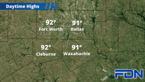
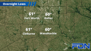
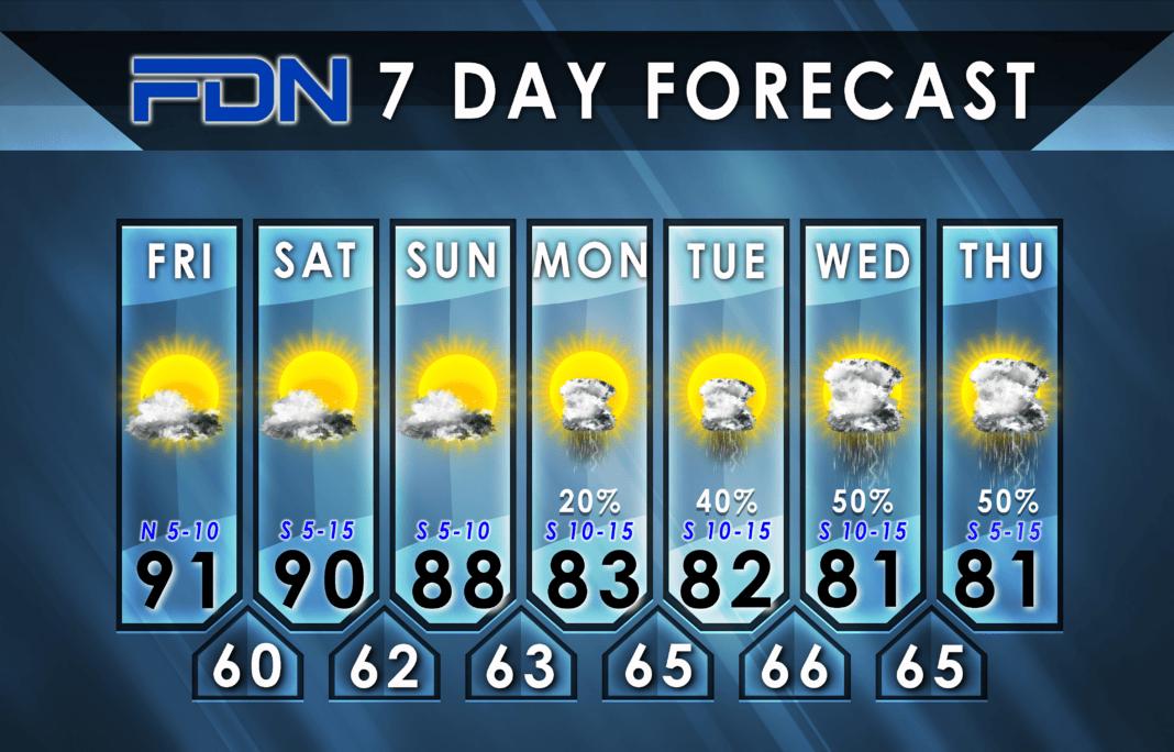
Today we will be hot with highs in the low 90’s with a few clouds and light north winds, and overnight lows in the low 60’s. Tomorrow will be about the same but with winds picking up out of the south and more cloud cover. Sunday we get a bit cooler with more clouds and highs in the upper 80’s.
Monday the moisture starts moving in and south winds really start picking up as the remnants of Hurricane Norma move into Texas. From there an upper level storm system will interact with gulf moisture and bring better rain chances as we get into Tuesday, Wednesday and Thursday. Models are starting to back off the cold front expected for Friday, so we may not quite see the cool-down discussed earlier this week.
That said, one model starting to take my usual mantra that we often get a decent cool-down right around Halloween quite seriously and fires a very potent cold front into our area that day. That’s obviously a LONG way away and has plenty of time to change, but stay tuned as we refine that trick-or-treat forecast!


